
Greenwich Neighbors by Block Evidence
There is no single Greenwich neighbors roster. The strongest block search joins a map product, an owner or parcel record, and a source that explains the date or civic context. The GIS office defines an abutter in a way that includes properties touching all sides and owners across the immediately fronting street. The Assessor, Town Clerk, registrars, Library, and neighborhood associations each answer a different question. Use the table as a role map, not as a promise that every nearby person will appear.
| Source | What it shows about a block | Access |
|---|---|---|
| Greenwich GIS and ArcGIS map channel | Property lines, roads, buildings, hydrology, wetlands, zoning, and other map layers around an address. | GIS office, Resource Maps, and the interactive map; no live parcel-click owner result was confirmed in the research pass. |
| GIS abutter request | Owners touching the parcel, across the immediately fronting street, or within a selected 100-, 200-, or 500-foot option. | Official request form, $0.50 per list, with address, billing, and disclaimer fields. |
| Assessor field card or street report | Owner, parcel, address, lot size, assessment, Grand List context, and transfer volume/page. | Counter binders, public terminals, phone, email, mail, and file requests. No public web parcel search was located. |
| Town Clerk land records | Recorded party roles, property address, legal description, instrument, book/page, date, and image when available. | Publicsearch, Town Clerk vault, counter, or mail route. |
| Voter route | Individual registration or polling information within the public scope allowed by Connecticut law. | MyVote or Greenwich registrars; no official current block-by-block voter list was located. |
| Community and historical sources | Neighborhood identity, past households, street memory, organization history, and village context. | Associations, Library Local History, directories, maps, oral histories, and Historical Society appointments. |
A parcel owner is not automatically an occupant. An abutter list is not a household roll. An association member is not necessarily an owner or neighbor at the address used for a mailing. The safest Greenwich neighbors search labels the result as owner, abutter, voter, householder, association contact, or historical listing and keeps the source date visible.
Map Greenwich Neighbors from One Address
Start from an address that can be written in more than one way. Separate the building number, street name, village label, and ZIP before opening a map. The Greenwich interactive GIS map channel and the Town's request forms can add spatial context, but the research capture did not confirm a live parcel-click screen with current neighboring-owner fields. Request a dated map or abutter list when a precise radius matters.
- Normalize the address and preserve current and historic street spellings. Keep Cos Cob, Riverside, Byram, or another community label as context rather than replacing the legal Town.
- Use GIS Resource Maps or the ArcGIS channel to orient the parcel, roads, buildings, water, wetlands, zoning, and other layers. Save the map or request date.
- Choose the GIS abutter option that fits the question: 100, 200, or 500 feet, Planning and Zoning Application, or another defined scope.
- Confirm a specific owner or recorded party through the Assessor or Town Clerk, and keep the record role and date separate from any conclusion about an occupant.
When the question grows from the immediate block to every address on a named road, the Greenwich street directory route has the fuller street-by-street chain. A block search should remain narrow enough that the map radius and source role are clear.
The manifest capture of the Greenwich interactive GIS map channel shows the official map route used to place a block in context.
The image is a map channel reference, not evidence that every visible parcel has a current public owner or occupant display.
Greenwich Abutters Include the Fronting Street
The GIS abutter definition is more exact than everyday use of the word neighbors. It includes owners on all sides touching a parcel and owners across the street that immediately fronts it. Corner and through lots can include all abutting or tangent owners. The request offers 100-, 200-, and 500-foot choices, a Planning and Zoning Application option, or another scope. The list cost is $0.50. A legal boundary still belongs to a deed, survey, or recorded map, while the GIS product is a planning and public-map layer.
The Greenwich GIS office lists walk-in and appointment help, public maps, data products, and forms. A request can use a property address and billing details, with Parcel ID optional on the map form. The map database and aerial dates printed on the form matter because layers are updated periodically. Capture the form date, radius, parcel identifier, and disclaimer acceptance with the response.
The manifest capture of the Greenwich GIS abutter request shows the 100-, 200-, and 500-foot choices and the across-street and corner-lot rule.
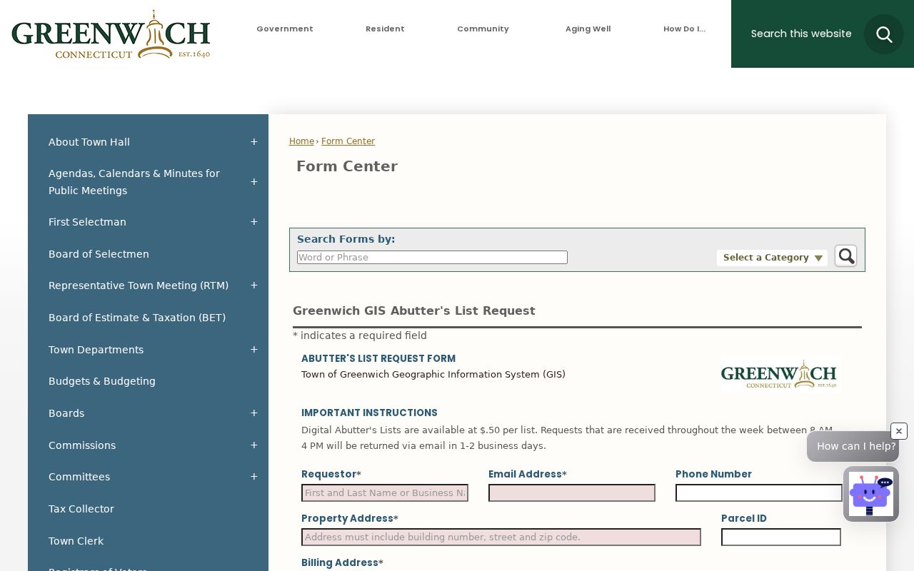
That definition gives a block search a repeatable boundary, even when the word neighbor means something more social in Byram, Riverside, or another community.
Greenwich Neighbors and Voter Privacy
The individual Connecticut MyVote lookup is the first official route for a person's registration or polling question. Greenwich has two registrars, and the Secretary of the State maintains the statewide system. The unattended research pass could not expose the public MyVote fields, so a page should not promise a particular result screen. The Connverse manual documents registrar-side current or previous name and address searches, including a street option, but that is not proof that the public lookup exposes a street list.
The centralized voter file is a separate written request. The research identifies a $300 CSV route with use limits for election-related, scholarly, journalistic, political, or governmental purposes. It is not a general private block directory, and the file's restrictions include limits on personal, advertising, marketing, and harassment uses. Connecticut also limits the public release of a voter's month and day of birth. For a lawful Greenwich civic question, ask the registrars for a precise non-exempt record rather than inferring neighbors from a street search.
Note: A voter lookup can answer a registration question, but it does not establish every household member, current occupant, or complete block composition.
Greenwich Neighbors in Byram and Riverside
Greenwich neighborhoods are meaningful clues, but they are not separate municipalities or a replacement for a parcel and street. The Town's neighborhood planning material maps Byram, Cos Cob, Glenville, Greenwich, Old Greenwich, Riverside, Pemberwick, and northern and southern areas. Byram sits near the New York border and Byram River. Cos Cob has Mianus and Riverside connections. Riverside and North Mianus are tied to the Mianus River, Long Island Sound, and the Riverside Avenue Bridge. Old Greenwich carries coastal and Greenwich Point context.
The Greenwich Plans and Studies collection is useful for the geography behind a block, while a parcel or deed source is needed for a legal property claim. A community label can explain why one address appears under Greenwich in a legal record and Riverside or Cos Cob in a local source. It should not be used alone to assign a neighbor to a street, school, polling district, ZIP, or parcel.
The manifest capture of the Greenwich neighborhood plans and studies shows the planning source for these overlapping place labels.
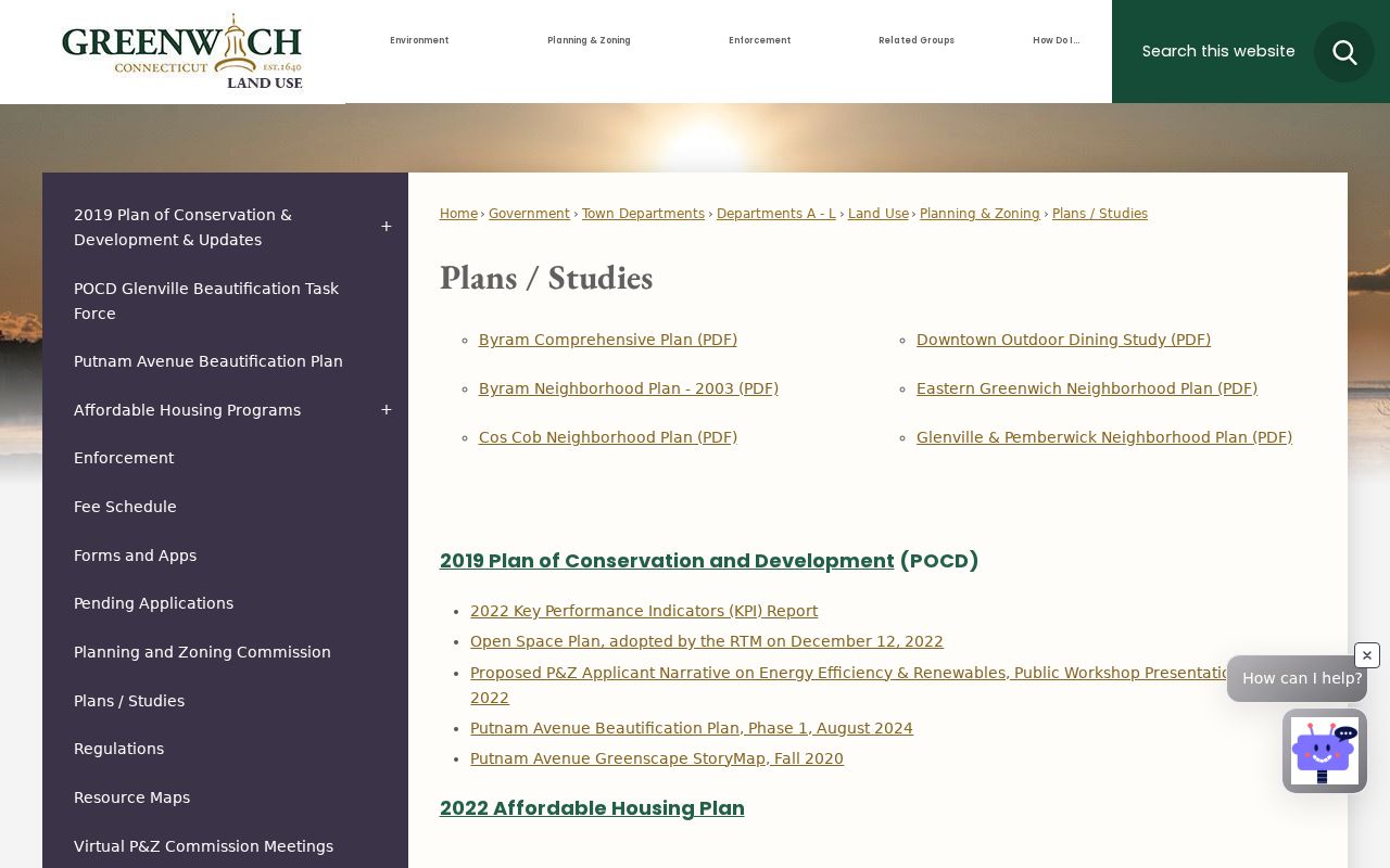
The plans add community scale to a block search, while the GIS and Town Clerk sources carry the parcel and document work.
Greenwich Neighbors and Community Groups
Neighborhood associations and civic groups can explain a bridge, waterfront, street project, or local boundary that a parcel layer cannot. They are not official residence registries. Use their own description and source date, and do not turn a contact page, meeting notice, or member reference into proof of who lives at an address.
The manifest capture of the Byram Association places Byram's geography and community identity beside the block search.
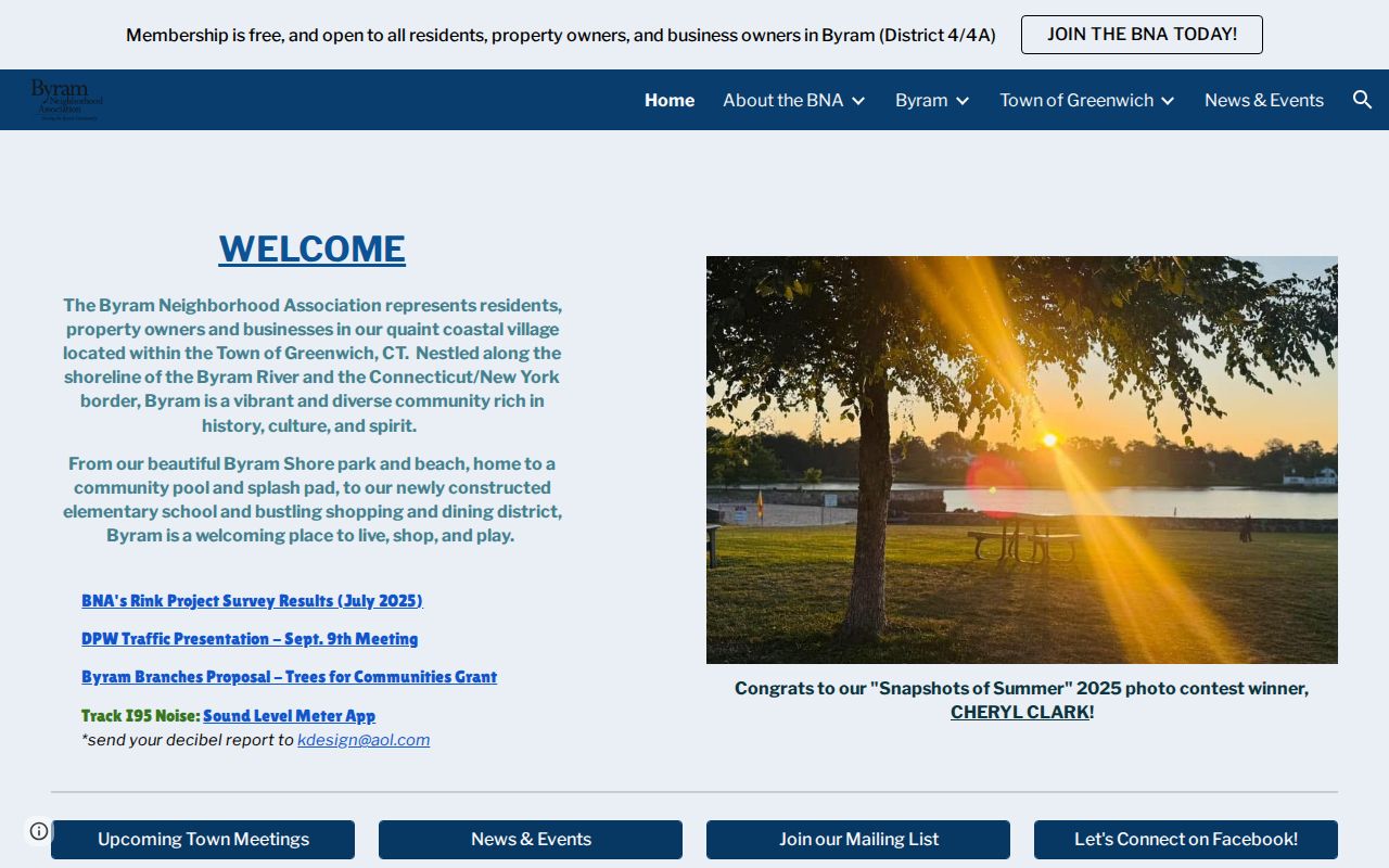
The association is useful for Byram context, including its waterfront and New York-border setting, but not as a current resident roster.
The manifest capture of the Riverside Association adds the Mianus River, Riverside Avenue Bridge, and 06878 community geography.
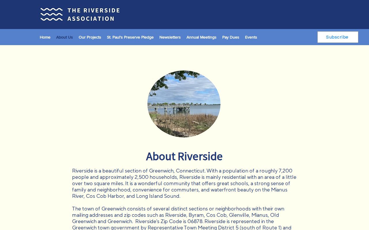
Riverside context can help disambiguate a source that says Riverside or North Mianus, but the exact street and parcel remain the stronger identifiers.
| Context source | Useful question | Boundary |
|---|---|---|
| Byram Association | How is the Byram waterfront and border community described? | Community identity, not a verified residence list. |
| Riverside Association | Which Riverside, North Mianus, bridge, and ZIP references fit the place? | Local geography and civic context, not parcel title. |
| Town sidewalk-review recommendations | Which civic and neighborhood organizations are named around local streets? | Organization names and place context, not membership or occupancy proof. |
| Town neighborhood plans | How do Byram, Cos Cob, Glenville, Pemberwick, and other areas appear in planning geography? | Planning context, not a legal town or current block roster. |
Historic Greenwich Neighbors and Place Names
The 1869 Town map is a strong historical neighbor clue because it includes owners, villages, school districts, and roads. A map label can show who was named in a place at that time, but it does not prove that the person occupied the property or held title through the whole period. Pair it with a deed chart, a dated directory, or a Historical Society finding aid. The Library directory metadata also shows that Greenwich's historical geography extended through Port Chester, Cos Cob, Mianus, Rocky Neck Point, Glenville, Byram, Riverside, Sound Beach, and East Port Chester in different issues.
Place names reach further back. The Town's 2026 Founders Day notice connects the 1640 purchase context with Monakewego, Elizabeth's Neck, Tod's Point, and Greenwich Point, while the Historical Society discusses Stanwich, Indian Field, Chickahominy, Cos Cob, and other pocket communities. Some etymologies remain uncertain in the source. Preserve that uncertainty. A local name can explain a historical block without being a current postal city or a list of Greenwich neighbors.
Note: Historic owners, directory householders, map labels, and modern abutters are different evidence types, even when they share one street or village name.
Greenwich Neighbors and Roadwork Dates
The Town's 2026 Summer Roadway Paving page, updated August 11, 2026, is a timely street and block source. It presents road sections moving generally west to east from Byram toward Old Greenwich and names streets in Byram, Cos Cob, Old Greenwich, central Greenwich, and other areas. A notice can explain why a street appears in current municipal material, why access changes for a time, or why a block has a new public-work reference.
Roadwork is not an ownership or occupancy record. Save the notice date and street section, then use GIS, the Assessor, Town Clerk, or P&Z for the property question. Public works, sidewalk, and planning files can be requested through the responsible office or a narrowly described FOI route, with exemptions for protected or security-sensitive details.
The manifest capture of the Greenwich 2026 roadway and block activity notice provides a dated municipal view of street change.
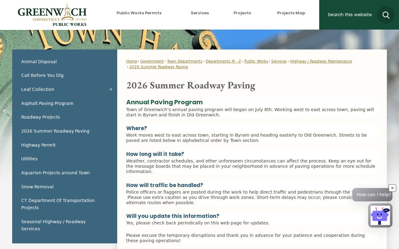
The notice gives current street context while leaving parcel and person claims to their own custodians.
Official Greenwich Records and Commercial Tools
Official records and commercial neighbor tools have different strengths. A Town source states its custodian, date, field, and access limit. A commercial profile service may assemble public, licensed, or user-supplied data from many places, then present a paid summary with its own correction or opt-out process. That summary can be a lead, but it does not replace the Greenwich record that created the name, parcel, map, or date.
| Route | Best use | What to verify |
|---|---|---|
| Greenwich GIS and abutter request | Define a block, touching parcel, across-street parcel, or radius. | Map date, radius, parcel ID, layer status, and disclaimer. |
| Assessor and Town Clerk | Check recorded owner or party and the legal property trail. | Role, instrument, book/page, assessment date, and whether the source is current. |
| Library, associations, and archives | Understand historical households, community names, and street memory. | Publication or interview year, collection restrictions, and whether the detail is recollection. |
| Commercial profile category | Generate an unverified lead when official sources are hard to join. | Source date, accuracy, cost, identity matching, lawful use, and repeat opt-out needs. |
A good Greenwich neighbors result can be reproduced from an official address, parcel, map, or dated community source. If the commercial summary and a custodian disagree, preserve the official record's date and role and contact that custodian for clarification.
Privacy Limits on Greenwich Neighbor Lookups
Public block evidence has a boundary. People connected to a parcel may not appear in the public record at all. Utility and delivery data are not open neighbor sources. The Connecticut Address Confidentiality Program can provide a substitute address for qualifying protected participants. The voter privacy program, FOI Section 1-217 nondisclosure route, vital-record eligibility rules, and law-enforcement exemptions each apply to different records and do not erase every reference to a person.
Before publishing a name or address, keep the minimum field needed, preserve the source date, and identify whether the record names an owner, abutter, party, association contact, or historical householder. The Connecticut Address Confidentiality Program and voter privacy program are safety routes, not search puzzles. Do not try to infer a protected person's actual location from a block record.
Lawful use. Greenwich neighbor lookups are for understanding a block, reconnecting, family history, and personal safety awareness. Do not use a map, name, or address to watch, stalk, harass, intimidate, or publish protected personal information.