
How Greenwich Resident Searches Begin
Greenwich has no master resident list. A useful search starts by naming the role you need: owner, registered voter, deed party, license holder, fiduciary, business filer, historical householder, or a person named in a public case. Those roles sit in different systems. A deed can show a grantor or grantee, but not the person who sleeps in the house. An assessor file can identify an owner and parcel, but it is an assessment snapshot. A city directory can place a householder on a street in a past year, but it does not establish a current address.
Use the narrowest trail first. An address points toward the Town Clerk, Assessor, GIS, permits, and abutter records. A name points toward land records, court indexes, voter routes, licenses, and business filings. An old date points toward Greenwich Library, maps, newspapers, probate, and the Historical Society. The strongest match has two independent sources with the same name, place, and time.
- Write down the name, address, village label, or year already known.
- Check the land index or assessor route for the right role, not a blanket claim of residence.
- Use a court, vital, voter, license, or business source when that record type fits the question.
- Move to the Library or Historical Society for an older household, street, or neighborhood clue.
- Ask the custodian through the Connecticut Freedom of Information Act when the record is not online and is legally open.
Greenwich Offices Behind Resident Records
Fairfield County is a geographic and judicial reference, not a working county records government. Connecticut has no county government, so there is no Fairfield County recorder, assessor, clerk, or county resident-search counter to bridge Greenwich records. The Town Clerk is the land-record custodian. The Assessor maintains the Grand List and field-card routes. GIS supplies maps, data products, and abutter requests. State offices fill the gaps for courts, vital events, voter information, licenses, and business entities.
Greenwich Town Clerk
101 Field Point Road, first floor
Greenwich, CT 06830
203-622-7897
Greenwich Assessor
Town Hall counter and public terminals
Field cards, Grand List, street reports
203-622-7885
Connecticut voter route
Town registrars and state CVR
Individual lookup and restricted data file
State system
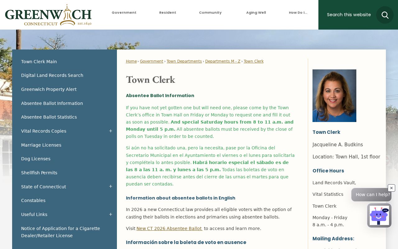
The Town Clerk image anchors the records map in a named local custodian, rather than an assumed county office.
The Town Clerk address and hours belong to a real counter, not a generic county office. The Assessor likewise provides phone, email, mail, and in-person routes because no confirmed public web parcel search was located. That gap changes the search plan, not the existence of the records.
Greenwich Land Records Link Names and Property
The Greenwich land-record portal is the clearest online name-to-property channel. Its quick search uses the Property Records department and a free-text term that accepts a grantor or grantee, subdivision, document type, or document number. Recorded-date ranges include preset windows from the last day through the last year. Searchers can choose an index-only view or an index plus full-text OCR search. The Town describes online coverage as reaching from the 1920s to the present, while its FY25-26 operations plan reports indexing and scanning back to 1927. Older books still belong in a Town Clerk follow-up.
The advanced land-record search separates Party Names, Grantor, Grantee, recorded date, instrument date, document type, document number, book, page, remarks, property address, and a phrase found in a document image. Date fields use month/day/year. No required marker, result limit, export control, or current copy price was visible in the inspected form, so those details should be confirmed with the custodian before a large request.
The Town's digital land-record page is the official starting point for the public search.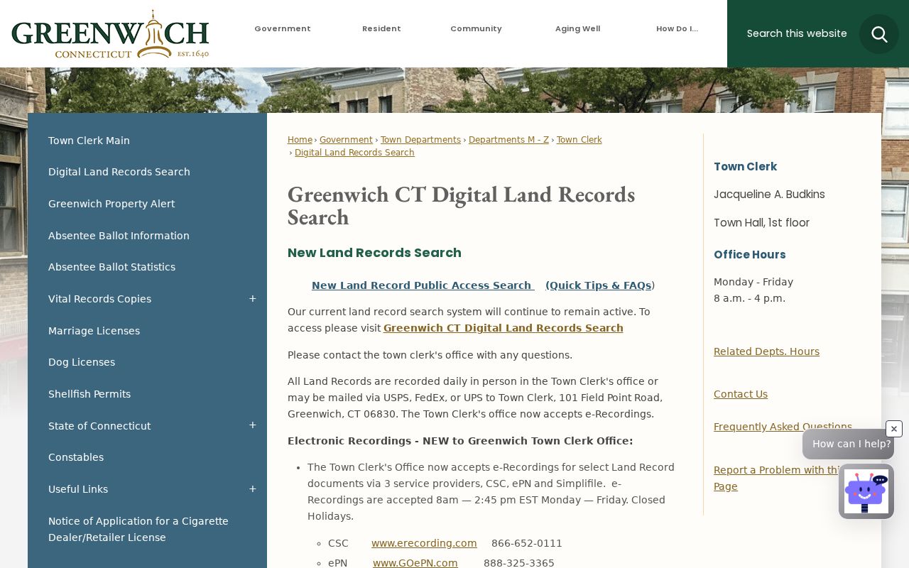
The land-record capture shows the named municipal route behind the index fields and the older-book coverage caveat.
| Quick term | Grantor, grantee, subdivision, document type, or document number |
|---|---|
| Date scope | Recorded-date start/end with preset ranges from 24 hours to one year |
| Search depth | Index Only or Index & Full Text using OCR |
| Advanced fields | Party, dates, document type/number, book/page, remarks, address, image phrase |
Record the instrument number or book and page, the recorded date, the named role, and the property description. A land index proves that an instrument was recorded. It does not prove that a named owner occupies the property now.
Note: Greenwich Property Alert can send free email notices for a name, keyword, or selected real-property filing, but the hosted portal disclaims guaranteed notice.
What Greenwich Assessor Files Can Show
Greenwich assesses property at 70 percent of fair market value and prepares its annual Grand List as of October 1. The Assessor's public routes are practical and specific. A field-card request identifies the Parcel ID and costs $1 per card. The office says a printed card can show assessment, ID number, ownership, size, type, and year built. The Real Estate page also points to owner, property address, parcel ID, lot size, current assessment, and most recent transfer volume and page.
Electronic real-estate lists are described at $10 per list for owner name, property address, and assessment. A detailed real-estate CD or USB is listed at $40 plus $5 shipping. Counter binders, sales material, and public terminals remain important because the research did not locate a confirmed public online assessor parcel interface. Up to five phone inquiries can be made at once. Use an Assessor result as an owner or tax record, then compare the date and transfer reference with the Town Clerk index.
The official Greenwich Assessor page shows the counter, field-card, and file-request routes.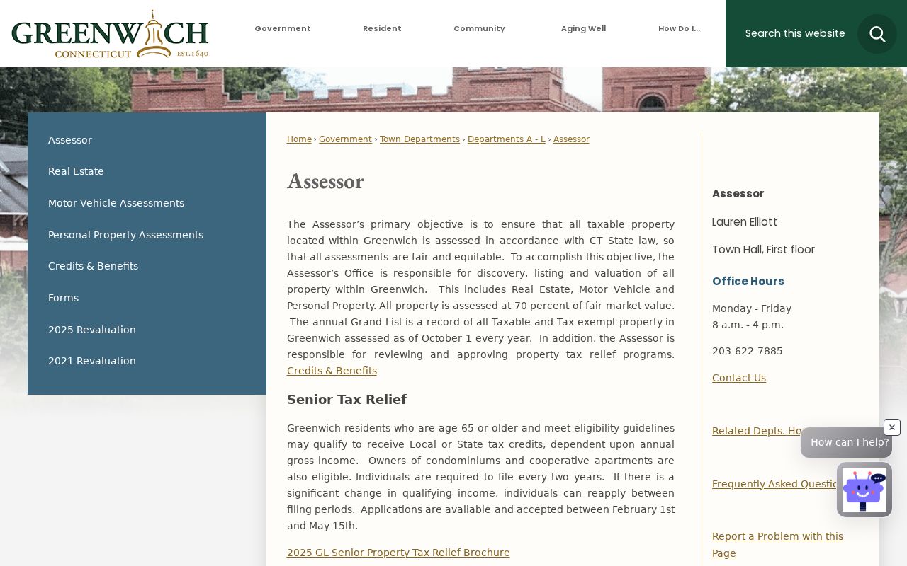
The screenshot captures the Assessor route that replaces a guessed web search. It is a reminder to name the parcel and record type before asking the office for a file.
Current Greenwich Resident Directory Sources
Current directory-like sources answer different questions. The Town Clerk index records instruments. The Assessor makes an ownership and assessment snapshot available through office channels. The voter route provides an individual lookup and a restricted state data-file process. GIS connects parcels and nearby properties. Business and license systems identify entities and credentials, not a person's home.
| Source | Role Named | Keeper | Access Pattern |
|---|---|---|---|
| Land-record index | Grantor, grantee, filer | Greenwich Town Clerk | Online search, vault, counter |
| Grand List / field card | Owner and parcel | Greenwich Assessor | Counter, phone, mail, paid files |
| Voter lookup | Eligible registered voter | Town registrars / Secretary of the State | Individual route; voter file has restrictions |
| GIS and abutters | Parcel relationship | Greenwich GIS | Maps and request forms |
| License or entity search | Licensee, agent, principal | Connecticut DCP / Secretary of the State | Online fields and rosters |
That separation keeps a Greenwich residents directory honest. An owner is not automatically a current occupant. A registered voter is not the same role as a deed party. A business principal or licensee may have an address tied to a filing. For one person's records, use the more focused Greenwich resident lookup workflow and preserve the source date.
Greenwich ZIP Codes Shape Resident Records
The current Town survey and supporting school and polling material identify five residential delivery ZIP codes: 06807, 06830, 06831, 06870, and 06878. Their community labels are useful search clues, but ZIP geography is not the same as a neighborhood, voting district, or town boundary. Cos Cob is tied to 06807; central Greenwich and Byram share 06830 context; Glenville and the northwest use 06831; Old Greenwich uses 06870; and Riverside and North Mianus are associated with 06878.
Greenwich also has a 06836 mailing and PO Box wrinkle. Town Hall uses a street address with 06830 while a mailing address can use 06836. USPS routing material explains why that code should not be treated as a sixth residential neighborhood. Verify the delivery code with the USPS city and state lookup, then match the result to a parcel or street record. The ZIP table is a filter, not proof of a household.
Greenwich GIS maps provide the official parcel and ZIP-geography context.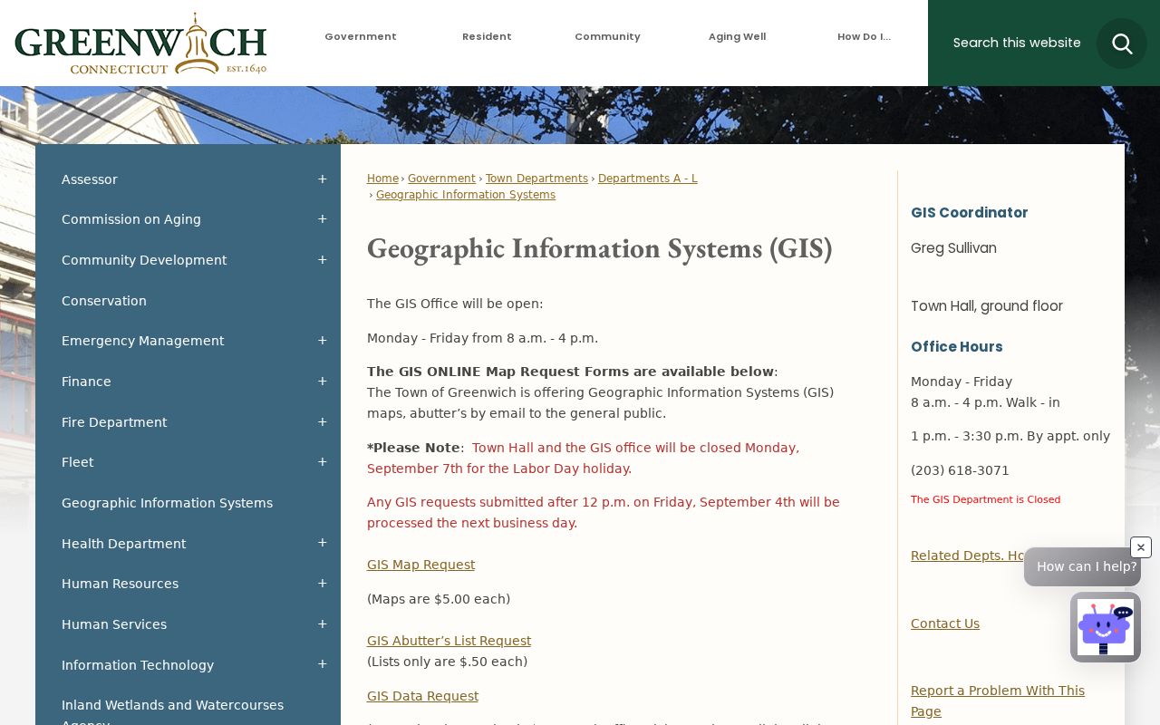
The GIS capture helps place ZIP clues beside parcel geography. It should not be read as a current-resident list.
Greenwich Resident Voter Rolls Need Care
Connecticut's voter information is town-based in administration and centralized at the state level. An individual can use the Secretary of the State's MyVote lookup, while a larger voter-file request goes to the LEAD unit. The file is a CSV request priced at $300 and limited to election, scholarly, journalistic, political, or governmental uses. It is not a general-purpose people list. The public research also notes that month and day of birth are exempt under Public Act 26-1 §96, with only the year released.
The inspected MyVote interface was not available to the unattended browser, so the official link is the safe route rather than an invented field list. Use the state voter-roll explanation for scope, then ask the local registrars about a town record or polling question. A voter record can support a registration or participation fact at a stated time. It should not be stretched into a claim about every person at an address.
The Connecticut voter-roll page explains the public scope and the absence of county government.
The voter-roll screenshot belongs with the access rule. It does not replace the official lookup or registrar contact.
The official MyVote link is the correct individual lookup route even though its live fields were not captured.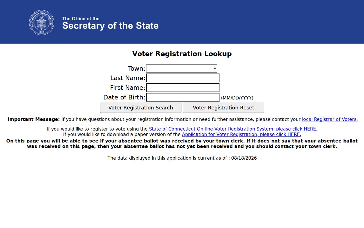
The MyVote image preserves the distinction between a public lookup link and the restricted voter-file request process.
New Greenwich Tools for Record Activity
Greenwich has added useful public-facing layers without turning them into a master directory. The Town Clerk's Property Alert can watch a name, keyword, or document-related criterion and send email notices about real-property filings such as a lien, release, or possible fraudulent attempt. The alert is free, but the hosted portal says notice and accuracy are not guaranteed. Open the actual instrument through the land index before relying on an alert.
The Town's Crime Data Portal launched April 7, 2026 and refreshes around 7:00 a.m. for the prior day. The data is preliminary. Precise incident addresses may be generalized or withheld for active investigations and victim privacy, and the dashboard is not a complete incident or resident lookup. These two tools show the shape of modern Greenwich records: faster public access, with a clear source date and a clear boundary.
The Greenwich Crime Statistics page describes the daily portal and its privacy caveats.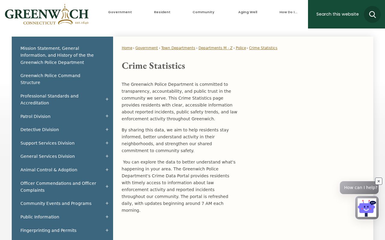
The image shows why a public dashboard can add civic context without identifying every person or exact address.
Greenwich Resident Records by Address
An address search works best as a chain, not a single lookup. Start with the label as written, including village or ZIP clues, then preserve every alternate spelling that appears. Greenwich addresses can sit inside overlapping town, neighborhood, postal, judicial, and GIS geographies. A parcel number, deed book and page, transfer reference, or application number is a stronger bridge than a street name alone.
- Search the Town Clerk land index by property address, grantor, grantee, or document phrase.
- Ask the Assessor for a field card, street report, or parcel detail using the Parcel ID when available.
- Use GIS maps or an abutter request to understand the parcel's neighbors and physical setting.
- Check IWWA applications, building, zoning, or permit records when the question concerns an environmental or construction history.
- Use a directory, map, newspaper, probate, or court record to confirm the name and date before publishing a conclusion.
The chain also supplies a fallback. If the right page is not online, write a narrow Greenwich Freedom of Information request with the department, record type, date range, address or parcel, and preferred format. FOI access does not override vital-record, court, victim, voter-privacy, or other statutory limits.
Historical Greenwich Resident Directories
Greenwich Library holds city directories from the late 1800s and describes digitized Greenwich directories from 1890-1922. Its named ContentDM collection includes Turner volumes from 1885-86 through 1912-13, Richmond volumes for 1920, 1922, and 1924, and Polk volumes for 1930-31 and 1934-35. The 1885-86 item includes villages, a business index, a street-by-street address guide, a phone cross-reference, and household and business profiles. The 1930-31 volume expands the regional view to Cos Cob, Mianus, Glenville, Riverside, Sound Beach, East Port Chester, and Byram.
For a past household, a directory year is a dated listing, not a current-resident result. Pair it with a deed chart, census, map, obituary, probate record, or newspaper index. The Library offers local-history help and 30-minute appointments. The Historical Society adds manuscripts, maps, photographs, organization records, and finding aids. The full collection treatment belongs on the Greenwich city directories page, where the years and access routes can be compared.
Greenwich Library's local-history page shows the directory, map, yearbook, and research-help shelf.Fairfield County Is Not a Greenwich Office
“Fairfield County” can help describe the region, a court district, or a historical setting. It cannot tell a searcher where to request a Greenwich deed or field card. Land records stay with the town where the land lies. Property assessment is municipal. Probate is District 54. Trial-court routing uses the Stamford-Norwalk Judicial District. Voter administration begins with town registrars and state systems.
This is a small but important Greenwich quirk. A search sent to a supposed county recorder can lead away from the public custodian. Use the Town Clerk, Assessor, GIS, Stamford courthouse, Greenwich Probate Court, Library, Historical Society, or the named state office instead. The records map is distributed because Connecticut's government structure is distributed.
Search the custodian, not the county label. Fairfield County geography narrows the region, but the official route depends on the record type and the date.
What Greenwich Records Cannot Say
A public record can name a role without naming a resident. Deeds name parties to an instrument. Assessor files name owners and tax attributes. GIS describes land relationships. Voter routes concern eligible registration. A court result may omit protected parties and selected documents. Vital records have age, relationship, ID, adoption, parentage, and Social Security number rules. DMV identity data is restricted. Police and victim information can be withheld.
When a result conflicts with another source, keep both source dates and ask the custodian for correction or clarification. Do not publish a protected address, full birth date, Social Security number, or victim detail. Connecticut's Address Confidentiality Program, voter privacy program, FOI §1-217 protections, and record-specific rules exist for people who need their location shielded.
| Route | Strength | Limit |
|---|---|---|
| Official index or office file | Named custodian and record date | Role-specific, incomplete, or restricted |
| Library or archive collection | Older names, streets, maps, and context | Historical, not proof of present residence |
| Commercial people-finder category | May combine many public and purchased data points | Source dates and accuracy can be hard to verify |
Greenwich Place Names Need Dates
Old and new names can describe the same Greenwich geography. The Town's 2026 Founders Day notice connects Monakewego, Elizabeth's Neck, Tod's Point, and Greenwich Point with the 1640 purchase and the Town's 1944 purchase of Greenwich Point. Historical Society material discusses Stanwich, Indian Field, Chickahominy, Cos Cob, and other pocket communities, while local associations use Byram, Riverside, and North Mianus in current community context.
That vocabulary matters in a residents directory because a deed, map, oral history, directory, postal label, and modern street record may use different names. Keep the source and date with the label. A place name is a search aid, not a claim that a person lived there. The 1869 Town map, 1893 atlas, 1931 atlas, and later street maps can bridge the names before a deed or other primary record is treated as proof.
Greenwich's resource-map page brings together street, zoning, coastal, sewer, and open-space map routes.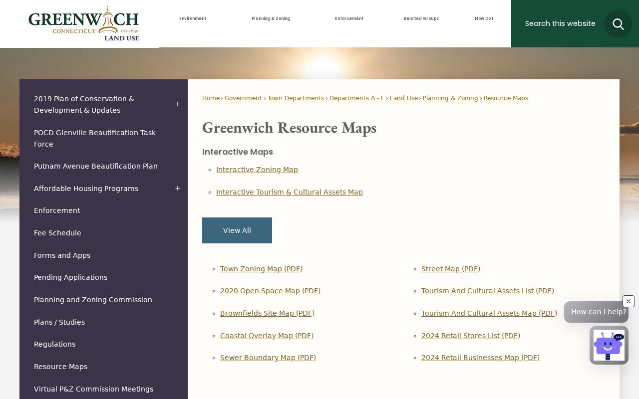
The resource-map image shows why town geography is layered. A map helps frame a search, while the named custodian confirms the record.